 HDMI VGA CVBS Video Signal Generator for Computer TV LCD Monitor Repair Test
$119.15
 CJMCU-34725 TCS34725 Color Sensor RGB Color Sensor Development Board Module
$13.11
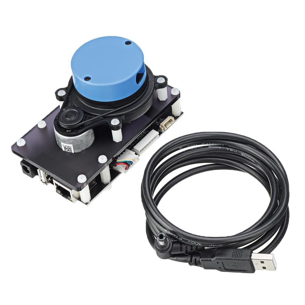
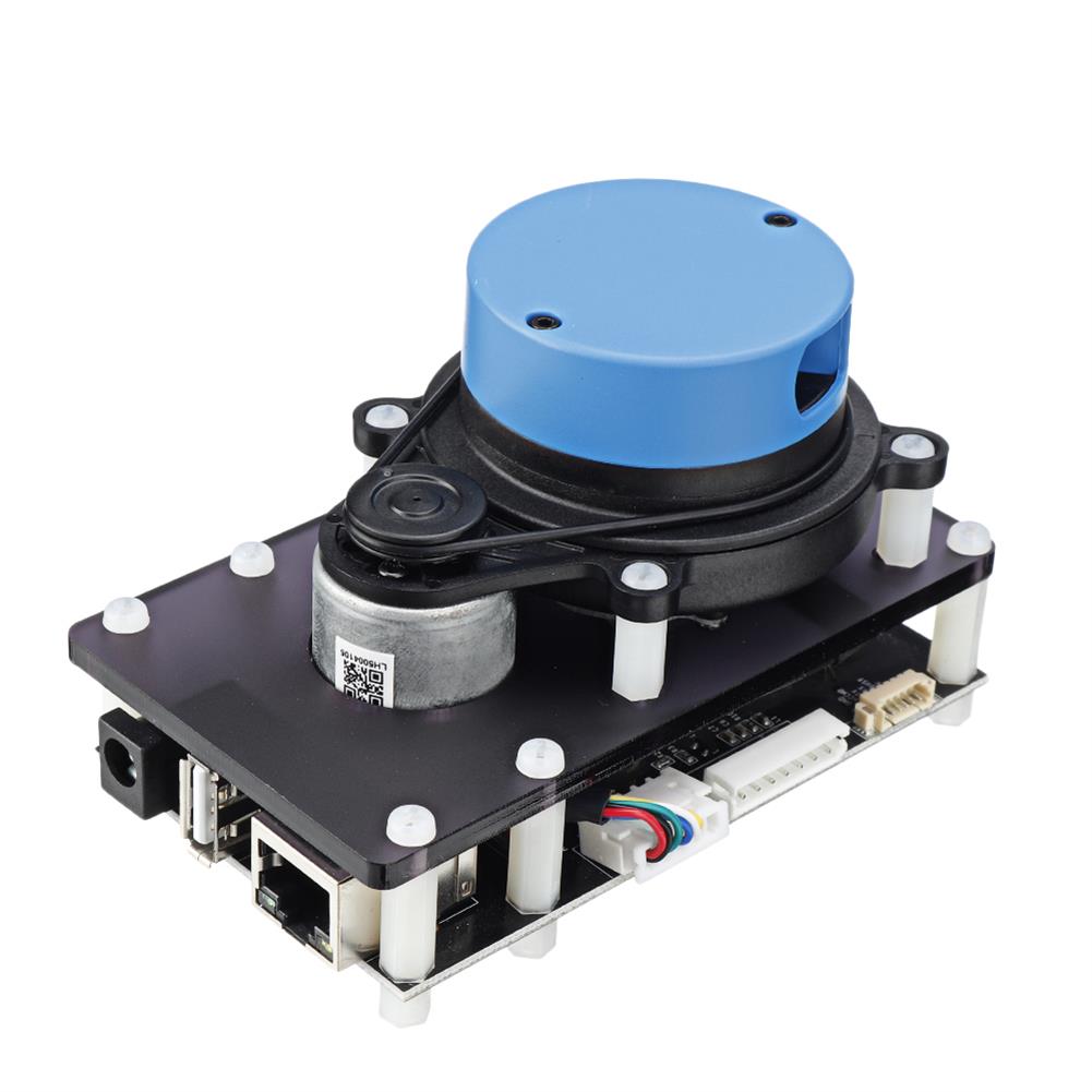
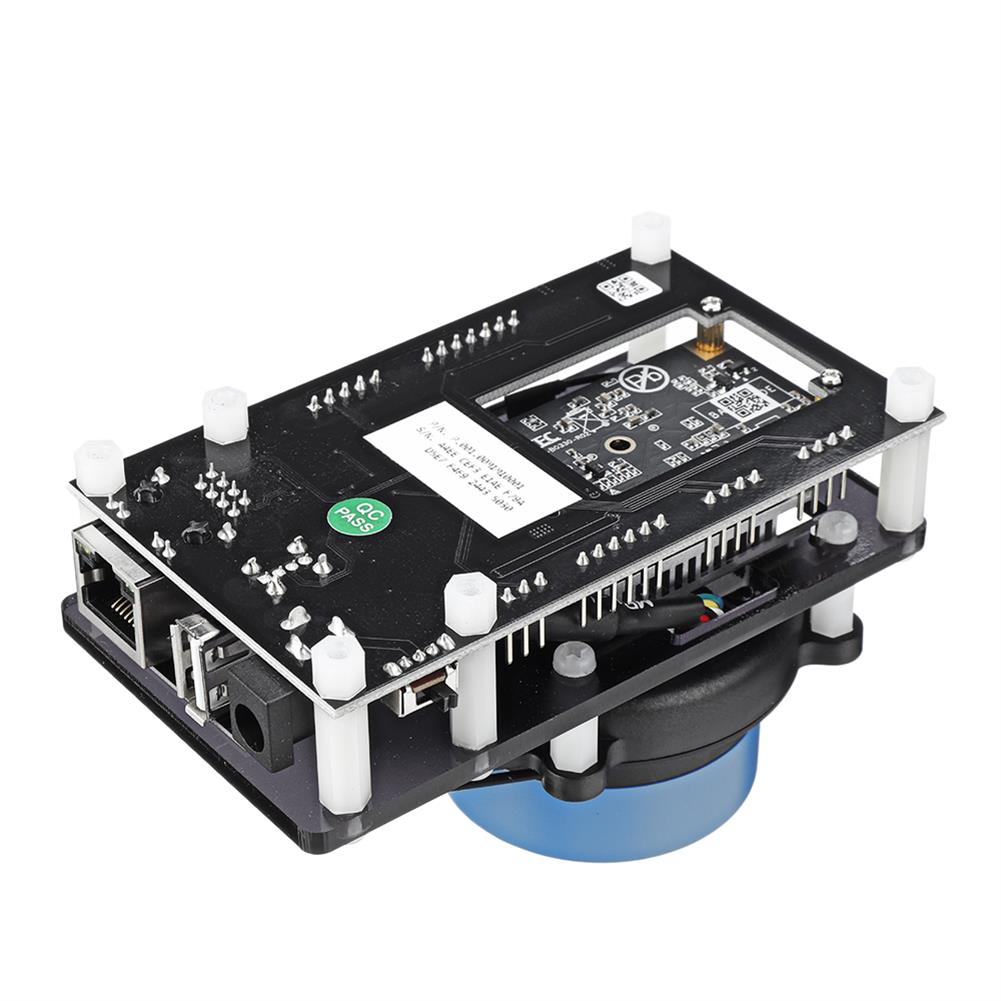
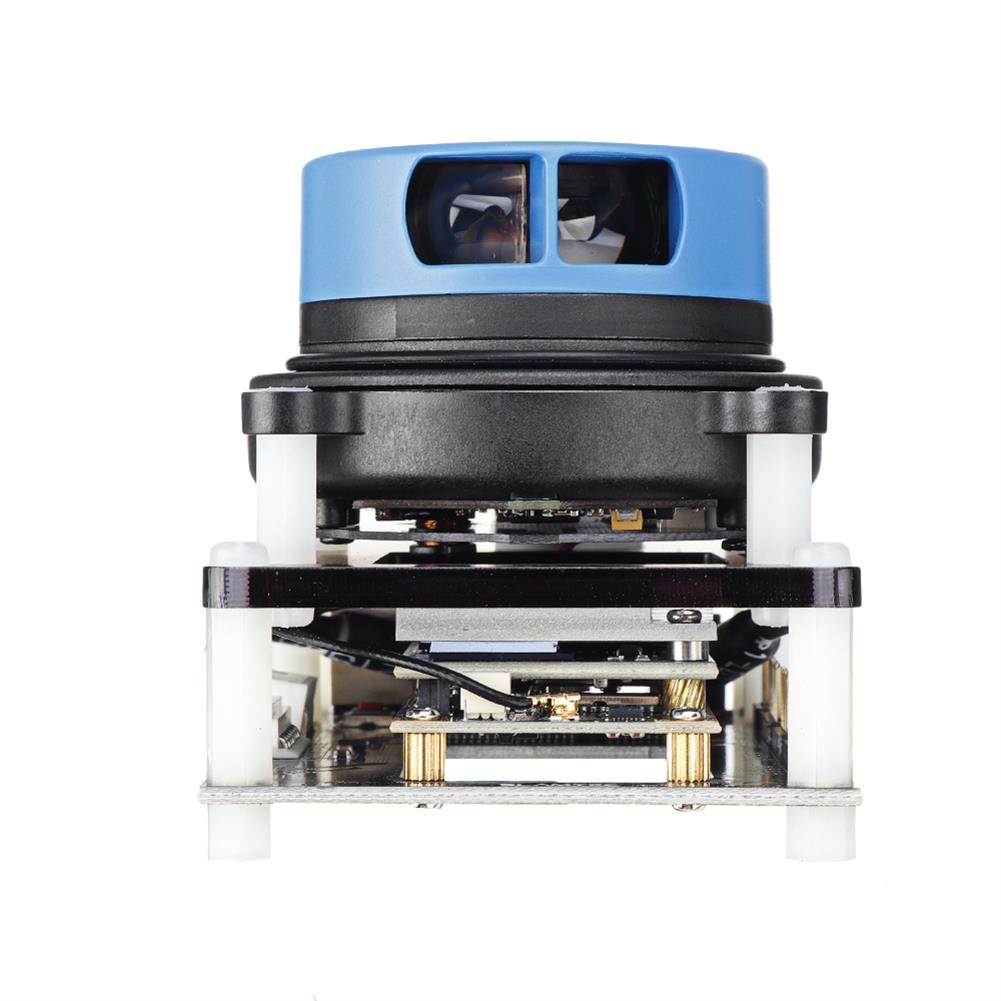
SLAMTEC RPLIDAR indoor Outdoor Mapper for Map Construction and SLAM Positioning TOF 20 Meters Lidar Ranging Sensor Compatible with ROS
$646.14
Features
1. SLAMTEC Mapper is a brand new laser sensor category launched by SLAMTEC, different from the traditional laser radar, the product built-in SLAM real-time map construction and positioning function, suitable for robot navigation and positioning, environmental mapping and handheld measurement and Other application fields.
2. SLAMTEC Mapper adopts high performance SLAM diagram optimization engine and SharpEdgeTM fine construction technology, which can capital detect and modify closed loop, realizing 100,000 square meters of high precision construction and positioning function.
3. SLAMTEC Mapper can be used without additional sensors or data entry.Due to the built-in 9-dof inertial navigation system, SLAMTEC Mapper can work normally in the high and low fluctuation, the existence of inclination Angle of the handheld construction mode, To ensure the best construction data quality.
4. SLAMTEC Mapper provides perfect SDK development package, mobile phone and PC evaluation tools, convenient for users to expand the development, data collection. At the same time, combined with the supporting ROS drivers, the maps and location data generated can be directly used In the ROS environment, which is fully compatible.
5. Apart from its own building map and positioning function, SLAMTEC Mapper can also be used directly as lidar sensor, so that the lidar data can be quickly connected to the existing system of users through SDK or ROS node.
Specifications
Radar measurement distance:20m
Radar sampling rate:7K
Maximum construction area:300x300m
Construction resolution:5cm
Maximum moving speed:1m/s
Maximum rotation speed:TBD
Repeat positioning accuracy
Figure optimization work time:about 1 hour
Maximum tilt angle:±3°
Data refresh rate:8Hz
Package Included
1 x SLAMTEC RPLIDAR Ladar Distance Meter Indoor Outdoor Mapper
Additional information
| Weight | 0.369 kg |
|---|


Reviews